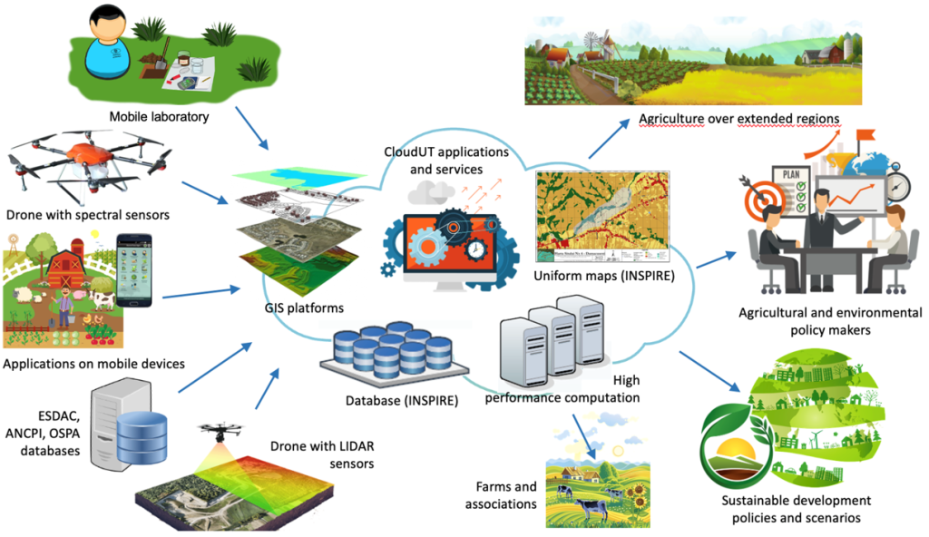

Processing satellite imagery using artificial intelligence provides new opportunities for environmental analysis and monitoring, particularly in agriculture. This approach focuses on developing automated methods for soil classification and extracting relevant information from satellite data.
Creation and expansion of datasets
A first essential step is the construction and improvement of datasets used for training AI models.
Data sources:
- satellite imagery Sentinel-2
- platforms and technologies such as: Google Earth Engine, OpenLandMap, Meteostat API, Python processing (Pandas)
Types of extracted information:
- moisture
- precipitation
- temperature
- altitude
- slope
- soil exposure (aspect)
In addition to these, a series of relevant spectral indices are also computed.
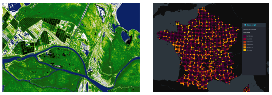
Spectral indices used
For soil and vegetation characterization, the following are used:
Basic indices:
- NDVI (Normalized Difference Vegetation Index)
- BSI (Bare Soil Index)
- NDBI (Normalized Difference Built-up Index)
- EVI (Enhanced Vegetation Index)
- SAVI (Soil Adjusted Vegetation Index)
- NBR (Normalized Burn Ratio)
- SIPI (Structure Insensitive Pigment Index)
Extended indices:
- mineralogical properties of the soil
- hydric and organic characteristics
- chemical and mineral composition
- spectral geometry
These indicators enable a detailed description of soil characteristics.
Data preprocessing
To ensure dataset quality, methods for data completion and correction are applied:
- completion of incomplete datasets
- interpolation of missing values in satellite image time series: forward filling, backward filling
These techniques contribute to obtaining consistent data for training models.
Classification models
For soil classification, several machine learning methods are used:
- Random Forest
- Support Vector Machines (SVM)
- Gradient Boosting
These models are trained on extended and preprocessed datasets to identify soil types and relevant characteristics.
Applications and perspectives
The obtained results open important directions for the development of intelligent applications in agriculture:
- automatic soil classification
- monitoring the state of agricultural land
- decision support in precision agriculture
In the future, these methods can be integrated into complex analysis systems based on satellite imagery.